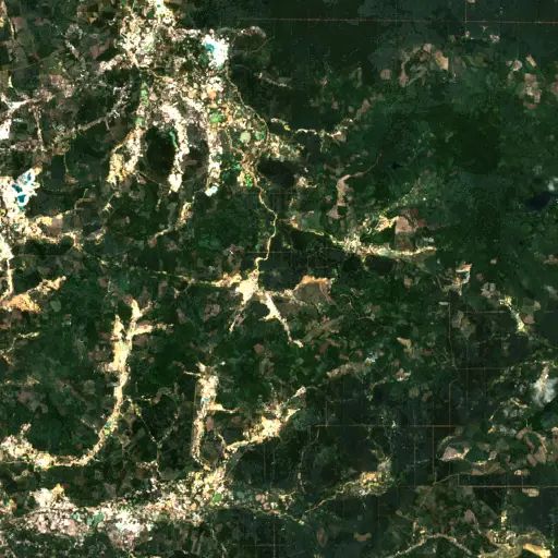
Farms in Ivory Coast: Tracing Agriculture's Footprint in Woroba
Background
Ivory Coast stands as a critical actor in global agriculture, with its economy deeply intertwined with the cultivation of cash crops. The nation's diverse climates support a range of agricultural activities, from large-scale plantations to subsistence farming, shaping both its economic output and rural livelihoods.
The Woroba region, situated in the country's interior, exemplifies this reliance. Here, agricultural land use is not merely an economic activity but a fundamental aspect of the social fabric, influencing settlement patterns, infrastructure development, and community resilience.
“Agricultural land use is not merely an economic activity but a fundamental aspect of the social fabric.
Historical land use practices in Woroba have often reflected a balance with natural ecosystems, but contemporary pressures from population growth and global market demands introduce new dynamics. Understanding the scale and distribution of farming across this landscape is therefore essential.
Changes in farming practices and the expansion of cultivated areas can have far-reaching implications for biodiversity, water resources, and the long-term sustainability of the land. Monitoring these shifts requires a comprehensive perspective.
Against this backdrop of agricultural significance, how are farms actually distributed across the Woroba region, and what does this reveal at scale?
Findings
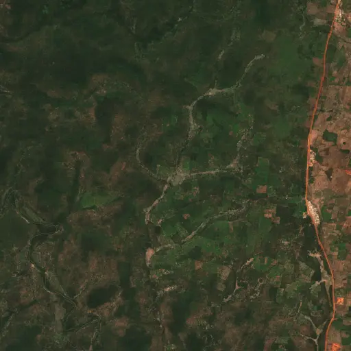
An extensive imagery search across Woroba revealed the presence of 558 distinct agricultural sites. These identified farms span a broad geographic area, indicating the pervasive nature of cultivation throughout the region rather than concentrated pockets.
The distribution patterns suggest a notable clustering of agricultural activity in certain areas, particularly within the northern and central parts of Woroba. These concentrations often appear adjacent to existing road networks and smaller settlements, hinting at the interplay between infrastructure and agricultural expansion.
The widespread presence of these identified farms underscores the intense agricultural footprint across Woroba. This spatial analysis illustrates the predominant mode of land use, providing a comprehensive overview of farming’s reach across the subnational region, as depicted in the visible heatmap of results.
Top Examples
While patterns at scale provide a critical overview, a closer look at individual farm sites can reveal the diverse stories and real-world conditions behind these statistics.
A selection of 10 representative farm locations across Woroba offers insight into the variety of agricultural landscapes present. These sites provide ground-level detail, showcasing variations in farm size, proximity to natural vegetation, and operational intensity that contribute to the region's overall agricultural character.
Observing these specific areas allows for an understanding of how individual parcels contribute to the broader trends identified. Each site represents a unique instance of human interaction with the land, reflecting local practices and environmental factors.
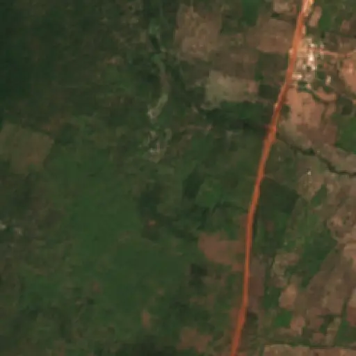
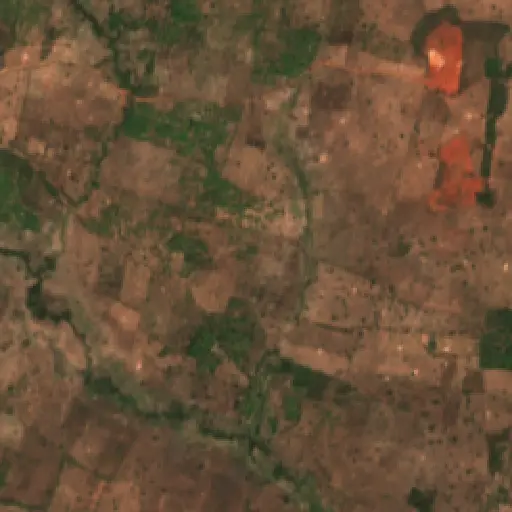
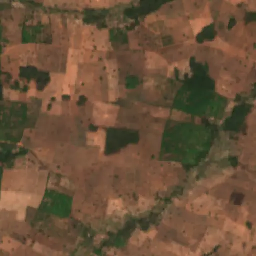
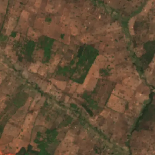
These specific examples underscore the complex and evolving nature of agriculture in Woroba; the critical question now is what this means for the region's future.
“The trajectory of farming in Woroba will largely depend on the careful navigation of these converging pressures.
The continued expansion and intensification of agriculture in Woroba present ongoing challenges related to land degradation and the maintenance of ecological corridors. Balancing economic imperatives with environmental stewardship remains a central dilemma for local communities and regional authorities.
Understanding these patterns, from the regional overview to individual farm characteristics, offers a basis for addressing the long-term viability of agricultural livelihoods. The trajectory of farming in Woroba will largely depend on the careful navigation of these converging pressures.
Maryland's Capital Footprint: Tracing D.C.'s Influence
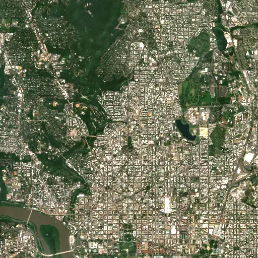
Discover how the historical and infrastructural shadow of Washington D.C. profoundly shapes the diverse landscapes and communities across neighboring Maryland.
“Its growth and the persistent presence of federal institutions have, over centuries, shaped the economic, social, and physical landscapes of surrounding Maryland.
The Scarred Rivers of Central Kalimantan: Tracing the Footprint of Dredging in Indonesia
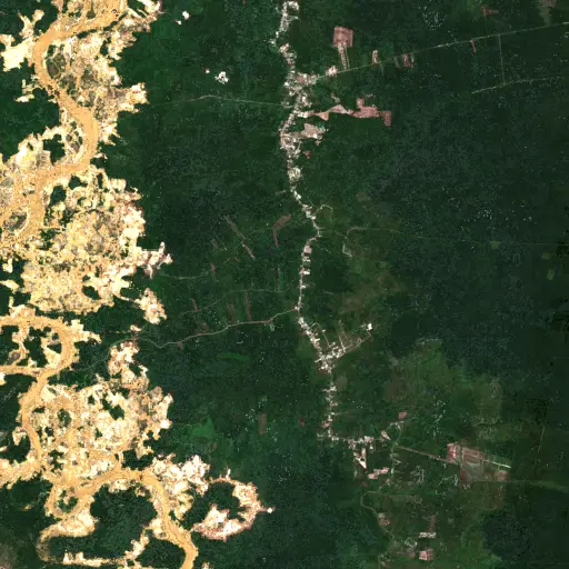
Explore the widespread and varied dredging operations across Central Kalimantan, Indonesia, and understand their profound environmental and socio-economic implications.
“However, these critical natural systems face escalating threats from various forms of resource extraction.
Sentinel Structures: Unpacking Boma Distribution and Land Use in Zambia's Western Province
Across Zambia's Western Province, traditional livestock enclosures, known as bomas, offer a unique lens into community life, pastoral practices, and environmental adaptation.
“Each structure represents a point within a broader network of resource use and communal activity.
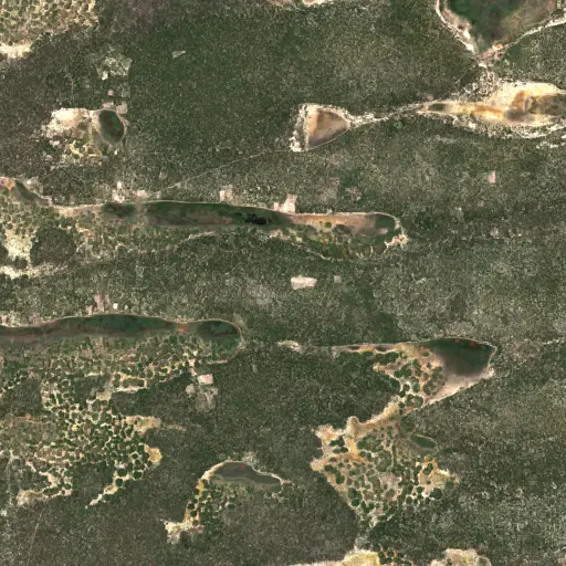
Phnom Penh's Hidden Guardians: Mapping Bat Roosts for a Healthier City
Uncovering potential bat roosts across Phnom Penh, Cambodia, to understand their critical role in urban ecosystems and public health.
“These nocturnal mammals are vital for natural pest control, consuming vast quantities of insects that could otherwise impact agriculture and human health.
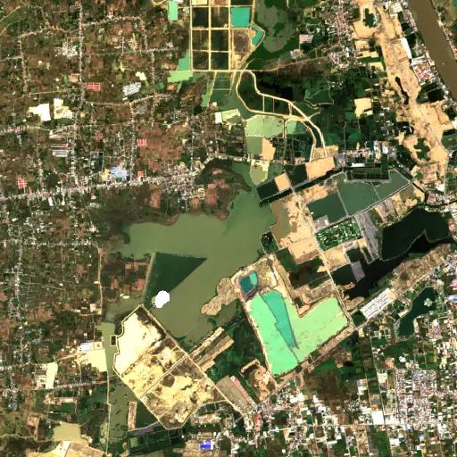
Peninsular Malaysia's Palm Oil Mills: A Network of Transformation
Uncovering the vast industrial network of 2,151 palm oil mills across Peninsular Malaysia, and their profound influence on the landscape, economy, and global supply chain.
“The expansion of oil palm plantations has been a major engine of economic development for Malaysia, providing employment and driving infrastructure growth in rural areas.
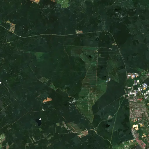
Aquaculture's Hidden Harvest: Mapping Alabama's Fish Farms from Space
Dive into the extensive, yet often unseen, network of aquaculture ponds across Alabama, revealing their critical role in the state's economy and food supply through satellite imagery.
“The state has long been a leading producer of farm-raised catfish, a cornerstone of its agricultural economy and a significant contributor to the national food supply.
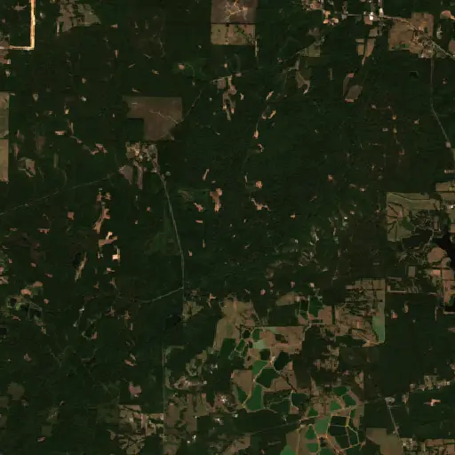
Bangka Belitung's Scarred Landscape: Mapping Tin Mining's Footprint
Explore the pervasive and visible impact of tin mining across Indonesia's Kepulauan Bangka Belitung, revealed through a comprehensive satellite-based survey of nearly 3,000 sites.
“For generations, the islands' geological richness has driven a significant economic sector, shaping livelihoods and trade dynamics far beyond its shores.