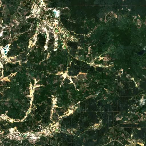
Sentinel Structures: Unpacking Boma Distribution and Land Use in Zambia's Western Province
Background
In the extensive plains of Zambia's Western Province, traditional livestock enclosures, known as bomas, stand as fundamental structures in the region's pastoral landscape. These circular or oval corrals, typically constructed from thorn bushes or local timber, serve as vital night shelters for cattle, protecting them from predators and enabling herd management.
Bomas are more than mere fences; they are often indicators of human settlement patterns, seasonal grazing routes, and the intricate relationship between communities and their environment. Their presence signifies active livestock rearing, a practice central to the economic and cultural fabric of many communities in Southern Africa.
“Each structure represents a point within a broader network of resource use and communal activity.
Western Province, with its vast floodplains and grasslands, supports a significant cattle population, making the study of boma distribution particularly relevant. The movement and concentration of these enclosures reflect a dynamic interplay of water availability, forage quality, and traditional land tenure systems.
Understanding where and how bomas are situated provides insights into the resilience of pastoral systems and the adaptive strategies employed by local populations in response to ecological changes. Each structure represents a point within a broader network of resource use and communal activity.
Given their significance, an examination of boma locations across this broad region from an elevated perspective can reveal overarching patterns of land use and human-environment interaction.
Findings
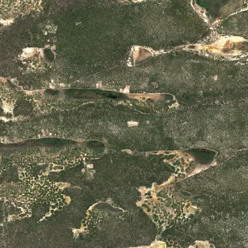
A comprehensive search across Western Province revealed a widespread distribution of bomas, with over 1600 distinct structures identified. These findings indicate a pervasive presence of traditional livestock management practices throughout the study area, far exceeding localized pockets of activity.
The distribution was not uniform; rather, it showed varying densities, with clusters often appearing near known water sources, seasonal riverbeds, or within proximity to established village settlements. This pattern suggests strategic placement driven by the dual necessities of water access for livestock and communal living.
These patterns, visible at scale across the landscape, offer a macro view of pastoral activity. They reveal how communities organize their livestock in relation to the environment, providing a large-scale indicator of land pressure, grazing patterns, and the broad spread of human presence across the province's diverse terrain. These broad patterns become truly tangible when specific locations are examined, revealing the stories behind the numbers.
Top Examples
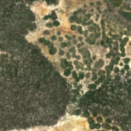
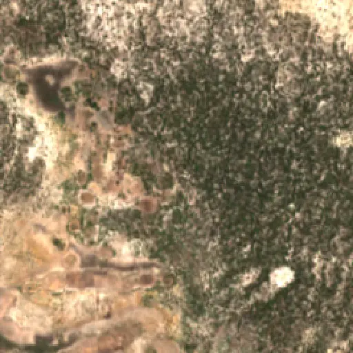
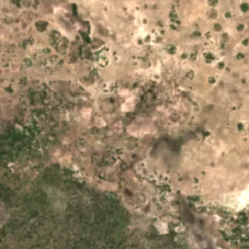
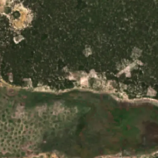
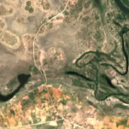
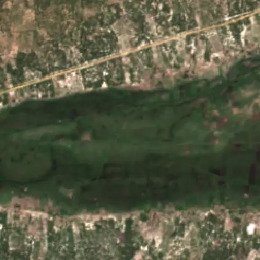
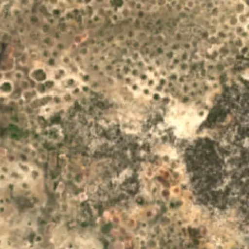
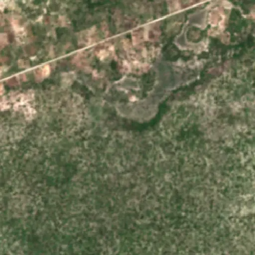
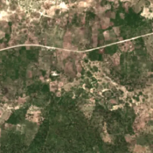
Zooming in from the province-wide distribution, a selection of ten sites offers a granular perspective on the diverse characteristics of bomas. These individual examples showcase the variability in size, construction, and precise placement that defines livestock management in Western Province.
Some sites feature solitary enclosures, hinting at smaller, independent herding practices, while others display complexes of multiple bomas, suggesting larger communal herds or more extensive settlement. Their positions relative to floodplains, higher ground, or accessible grazing lands provide direct evidence of local adaptive strategies and resource utilization.
The aggregated view of boma distribution and the details gleaned from individual sites offer critical insights into land use dynamics in Western Province. These structures serve as a visible record of human interaction with the landscape, reflecting centuries of pastoral tradition and adaptation.
“These structures serve as a visible record of human interaction with the landscape, reflecting centuries of pastoral tradition and adaptation.
The patterns observed underscore the ongoing importance of traditional livestock rearing to the region's communities. They also highlight areas of potential resource concentration or dispersion, which can be valuable for future land use planning and conservation initiatives.
Further analysis of these boma locations, especially in relation to ecological shifts or socio-economic changes, could inform strategies for sustainable development, ensuring the long-term resilience of both the environment and the communities dependent on it.
Maryland's Capital Footprint: Tracing D.C.'s Influence
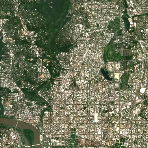
Discover how the historical and infrastructural shadow of Washington D.C. profoundly shapes the diverse landscapes and communities across neighboring Maryland.
“Its growth and the persistent presence of federal institutions have, over centuries, shaped the economic, social, and physical landscapes of surrounding Maryland.
Farms in Ivory Coast: Tracing Agriculture's Footprint in Woroba
Explore how the agricultural landscape of Woroba, Ivory Coast, is evolving, from historical roots to current patterns and individual farm stories, revealing the region's dynamic relationship with the land.
“Agricultural land use is not merely an economic activity but a fundamental aspect of the social fabric.
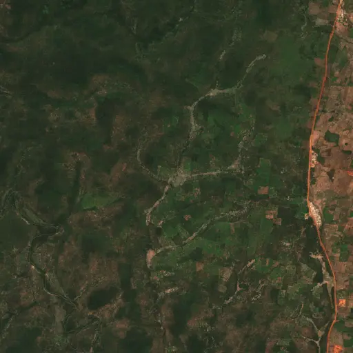
The Scarred Rivers of Central Kalimantan: Tracing the Footprint of Dredging in Indonesia
Explore the widespread and varied dredging operations across Central Kalimantan, Indonesia, and understand their profound environmental and socio-economic implications.
“However, these critical natural systems face escalating threats from various forms of resource extraction.
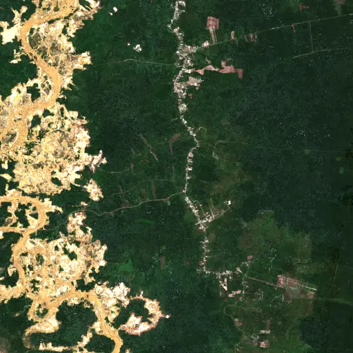
Phnom Penh's Hidden Guardians: Mapping Bat Roosts for a Healthier City
Uncovering potential bat roosts across Phnom Penh, Cambodia, to understand their critical role in urban ecosystems and public health.
“These nocturnal mammals are vital for natural pest control, consuming vast quantities of insects that could otherwise impact agriculture and human health.
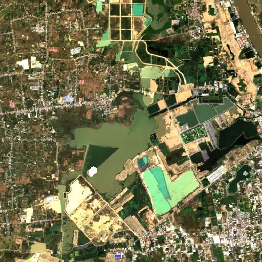
Peninsular Malaysia's Palm Oil Mills: A Network of Transformation
Uncovering the vast industrial network of 2,151 palm oil mills across Peninsular Malaysia, and their profound influence on the landscape, economy, and global supply chain.
“The expansion of oil palm plantations has been a major engine of economic development for Malaysia, providing employment and driving infrastructure growth in rural areas.
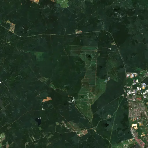
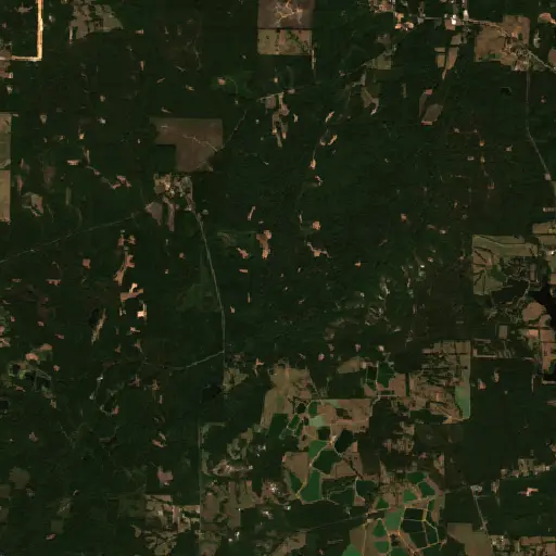
Aquaculture's Hidden Harvest: Mapping Alabama's Fish Farms from Space
Dive into the extensive, yet often unseen, network of aquaculture ponds across Alabama, revealing their critical role in the state's economy and food supply through satellite imagery.
“The state has long been a leading producer of farm-raised catfish, a cornerstone of its agricultural economy and a significant contributor to the national food supply.
Bangka Belitung's Scarred Landscape: Mapping Tin Mining's Footprint
Explore the pervasive and visible impact of tin mining across Indonesia's Kepulauan Bangka Belitung, revealed through a comprehensive satellite-based survey of nearly 3,000 sites.
“For generations, the islands' geological richness has driven a significant economic sector, shaping livelihoods and trade dynamics far beyond its shores.