Peninsular Malaysia's Palm Oil Mills: A Network of Transformation
Background
Peninsular Malaysia stands as a cornerstone of the global palm oil industry, its landscape profoundly shaped by oil palm cultivation. The region, particularly states like Pahang, contributes significantly to the world's supply of this versatile commodity, which finds its way into countless products from food to fuel.
The expansion of oil palm plantations has been a major engine of economic development for Malaysia, providing employment and driving infrastructure growth in rural areas. This transformation has reshaped vast tracts of land, converting forests and agricultural areas into monoculture estates.
“The expansion of oil palm plantations has been a major engine of economic development for Malaysia, providing employment and driving infrastructure growth in rural areas.
At the heart of this expansive industry are the palm oil mills, industrial facilities where harvested fresh fruit bunches are processed into crude palm oil and palm kernel oil. These mills represent the critical interface between the agricultural landscape and the global supply chain, extracting the raw material that fuels economies.
The efficiency and geographic distribution of these processing centers are crucial to the industry's operations. Their locations often dictate the logistics of fruit transportation from surrounding plantations, influencing land use patterns and local environmental considerations.
Understanding the network of these mills provides insight into the scale and structure of Peninsular Malaysia's palm oil production. From vast plantations to complex processing, the very heart of this industry's operation lies in its mills – the crucial link that transforms fruit into global commodity.
Findings
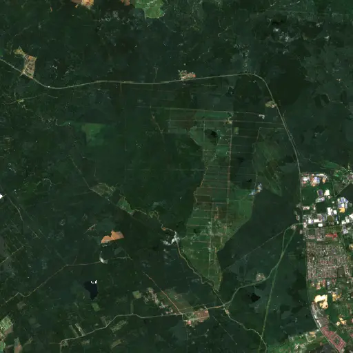
To accurately map this critical industrial infrastructure, a systematic search was conducted across Peninsular Malaysia. Utilizing Earth Index, a tool that searches Sentinel-2 satellite imagery, patterns indicative of palm oil mills can be found quickly across large areas, providing a comprehensive view of their distribution.
The search identified 2,151 distinct palm oil mill facilities meeting the specified criteria. These facilities are not evenly dispersed but show significant concentrations, particularly within the state of Pahang, which demonstrates a high density of processing sites intertwined with extensive oil palm plantations.
The spatial distribution of these mills reveals a dense network supporting the vast agricultural footprint of the region. This pattern suggests a highly integrated industrial landscape, where agricultural production and processing facilities are tightly linked to optimize efficiency and minimize transportation distances. This broad pattern of distribution becomes clearer when we examine specific sites, revealing the diverse realities within this sprawling industrial network.
Top Examples
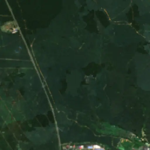
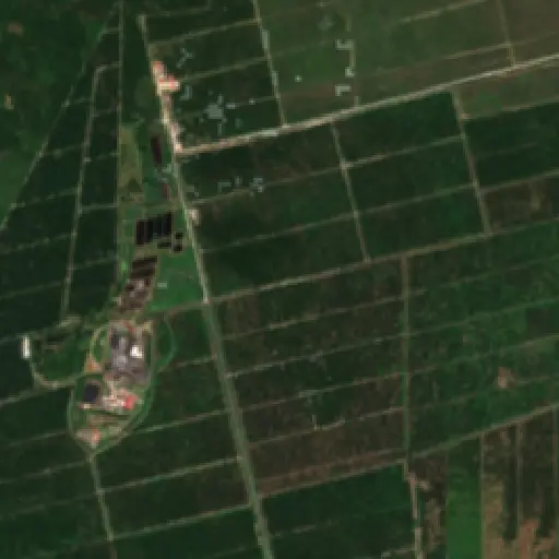
A closer examination of ten representative sites offers a more granular understanding of these mills within the larger Peninsular Malaysian landscape. These selected examples illustrate the varied scales of operation and their integration into both agricultural and, at times, more developed areas.
From facilities nestled deep within expansive plantations to those situated closer to main transportation arteries, each mill plays a specific role in its local context. This selection provides a glimpse into the operational realities across the diverse geography, highlighting how these processing hubs connect with their surrounding environments. These individual stories of mills woven into the fabric of Peninsular Malaysia raise a collective question: How do we balance this powerful economic engine with the imperative for sustainable land stewardship?
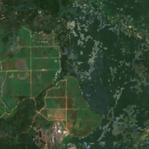
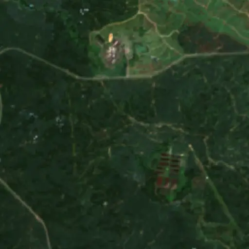
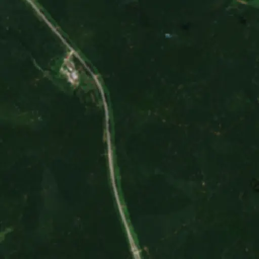
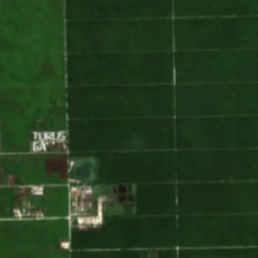
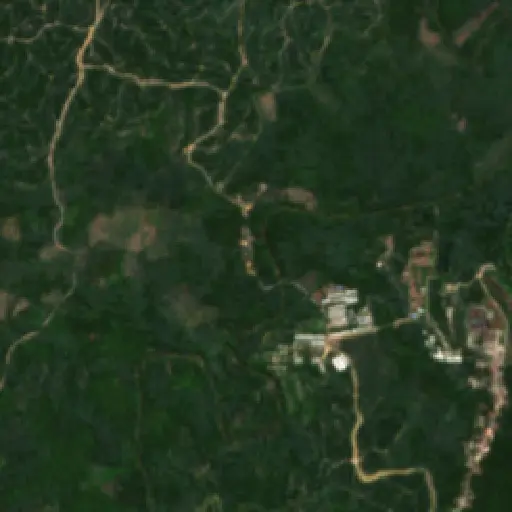
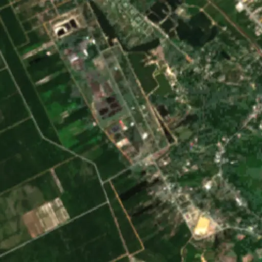
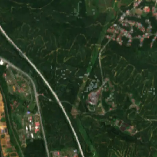
The extensive network of palm oil mills across Peninsular Malaysia underscores the ongoing challenge of balancing economic development with environmental considerations. The precise mapping of these facilities offers a foundational layer for tracking material flows and assessing the spatial impact of the industry.
“The extensive network of palm oil mills across Peninsular Malaysia underscores the ongoing challenge of balancing economic development with environmental considerations.
Greater transparency regarding these processing sites and their operational practices could contribute to more effective monitoring efforts. This geographical understanding provides an essential tool for stakeholders working towards more sustainable palm oil production and for verifying commitments made across the supply chain.
The continued evolution of the palm oil sector in Malaysia will likely involve increased scrutiny of environmental footprints and labor practices associated with these mills. The question remains how the industry will adapt to growing global demands for certified sustainable palm oil, moving forward with both efficiency and accountability.
Maryland's Capital Footprint: Tracing D.C.'s Influence
Discover how the historical and infrastructural shadow of Washington D.C. profoundly shapes the diverse landscapes and communities across neighboring Maryland.
“Its growth and the persistent presence of federal institutions have, over centuries, shaped the economic, social, and physical landscapes of surrounding Maryland.
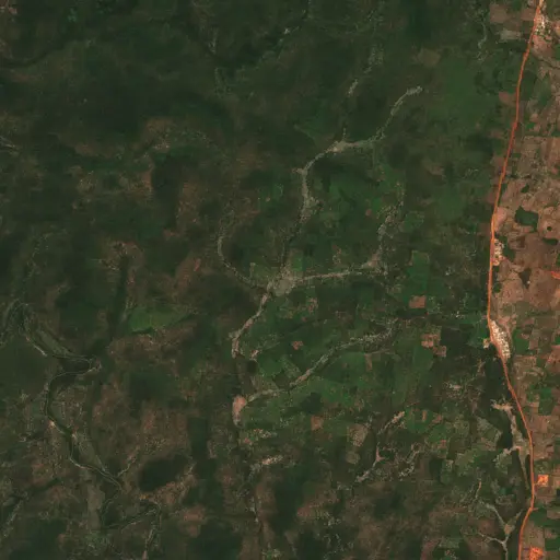
Farms in Ivory Coast: Tracing Agriculture's Footprint in Woroba
Explore how the agricultural landscape of Woroba, Ivory Coast, is evolving, from historical roots to current patterns and individual farm stories, revealing the region's dynamic relationship with the land.
“Agricultural land use is not merely an economic activity but a fundamental aspect of the social fabric.
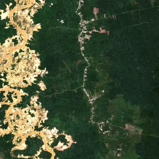
The Scarred Rivers of Central Kalimantan: Tracing the Footprint of Dredging in Indonesia
Explore the widespread and varied dredging operations across Central Kalimantan, Indonesia, and understand their profound environmental and socio-economic implications.
“However, these critical natural systems face escalating threats from various forms of resource extraction.
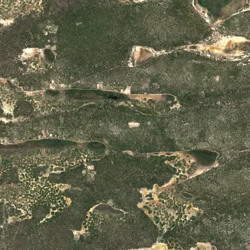
Sentinel Structures: Unpacking Boma Distribution and Land Use in Zambia's Western Province
Across Zambia's Western Province, traditional livestock enclosures, known as bomas, offer a unique lens into community life, pastoral practices, and environmental adaptation.
“Each structure represents a point within a broader network of resource use and communal activity.
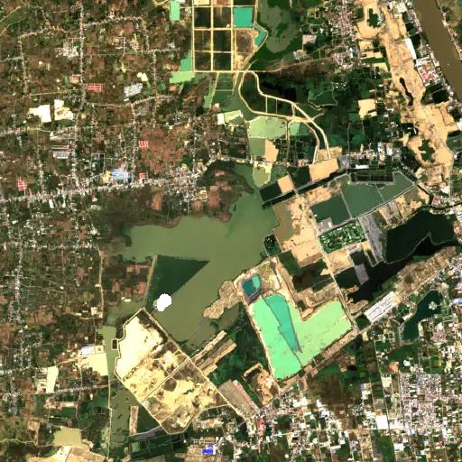
Phnom Penh's Hidden Guardians: Mapping Bat Roosts for a Healthier City
Uncovering potential bat roosts across Phnom Penh, Cambodia, to understand their critical role in urban ecosystems and public health.
“These nocturnal mammals are vital for natural pest control, consuming vast quantities of insects that could otherwise impact agriculture and human health.
Aquaculture's Hidden Harvest: Mapping Alabama's Fish Farms from Space
Dive into the extensive, yet often unseen, network of aquaculture ponds across Alabama, revealing their critical role in the state's economy and food supply through satellite imagery.
“The state has long been a leading producer of farm-raised catfish, a cornerstone of its agricultural economy and a significant contributor to the national food supply.
Bangka Belitung's Scarred Landscape: Mapping Tin Mining's Footprint
Explore the pervasive and visible impact of tin mining across Indonesia's Kepulauan Bangka Belitung, revealed through a comprehensive satellite-based survey of nearly 3,000 sites.
“For generations, the islands' geological richness has driven a significant economic sector, shaping livelihoods and trade dynamics far beyond its shores.