Phnom Penh's Hidden Guardians: Mapping Bat Roosts for a Healthier City
Background
In the sprawling urban landscape of Phnom Penh, Cambodia, bats play an often-unseen but crucial ecological role. These nocturnal mammals are vital for natural pest control, consuming vast quantities of insects that could otherwise impact agriculture and human health. Their activities also contribute to the pollination of various plant species, supporting urban biodiversity.
Beyond their ecological benefits, the proximity of bat populations to human settlements carries implications for public health. Monitoring bat roosts can be important for understanding potential pathways for zoonotic diseases, allowing for proactive public health interventions and informed community engagement.
“These nocturnal mammals are vital for natural pest control, consuming vast quantities of insects that could otherwise impact agriculture and human health.
This dual importance—as both ecological benefactors and potential health indicators—makes understanding their habitats in a rapidly developing city like Phnom Penh a critical challenge. Traditional field surveys struggle to meet this need at scale.
This challenge highlights the need for innovative approaches to locate and monitor these vital creatures, which is where geospatial technology comes in. The vantage point from above can reveal patterns and features across vast urban areas, providing insights difficult to gather on the ground.
Findings
From above, the city's complex patterns of architecture and vegetation can indeed reveal hidden habitats. Geospatial analysis, utilizing tools like Earth Index to search Sentinel-2 satellite imagery, systematically scanned Phnom Penh for specific indicators conducive to bat roosting.
The search focused on features such as dense tree canopy structures, specific architectural elements of older buildings, and shaded, sheltered urban niches. These elements, often overlooked from street level, present ideal conditions for various bat species seeking refuge within a bustling urban environment.
Across Phnom Penh, the search identified 718 potential features matching these criteria. This extensive distribution suggests that bats are well integrated into the city's fabric, finding diverse opportunities for shelter across its many districts. The scale of these findings offers a city-wide view of potential habitats, illustrating a widespread pattern of presence.
These 718 identified features represent a comprehensive look at potential bat habitats across Phnom Penh, indicating specific areas where further investigation might confirm roosting activity. To truly understand the implications of these findings, a closer examination of specific locations is warranted, revealing the diverse roosting opportunities bats find within this urban landscape.
Top Examples
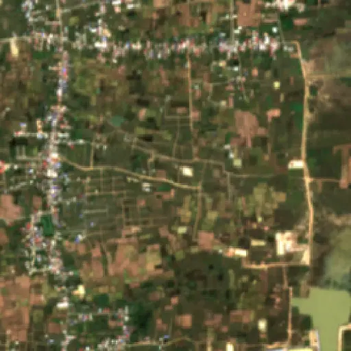
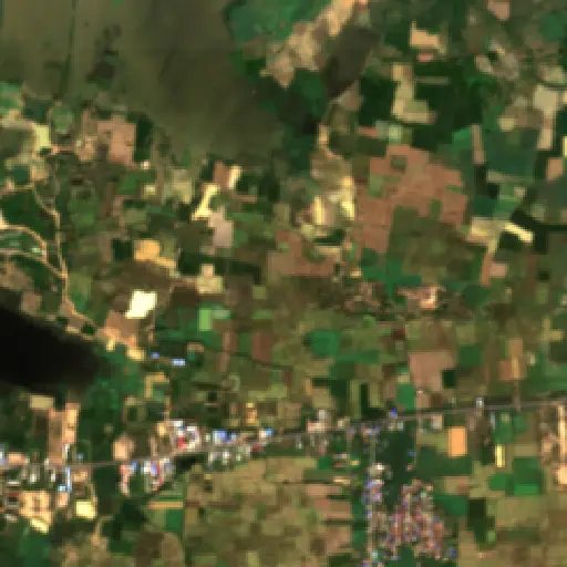
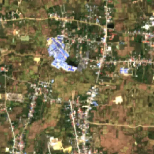
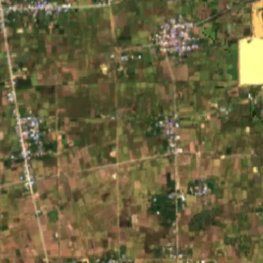
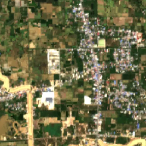
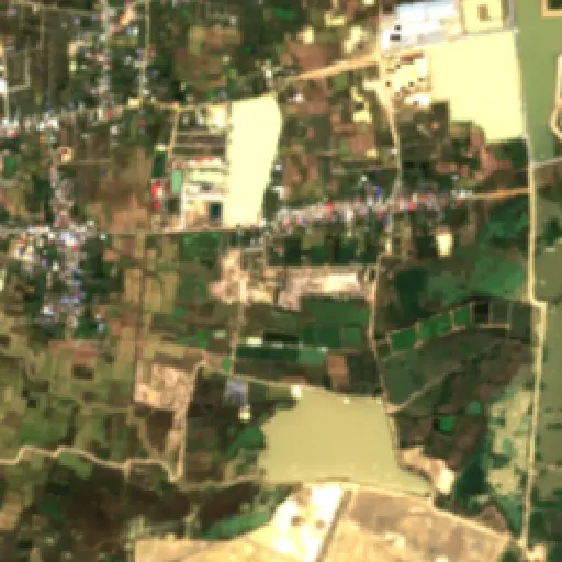
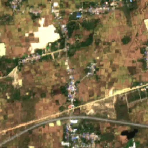
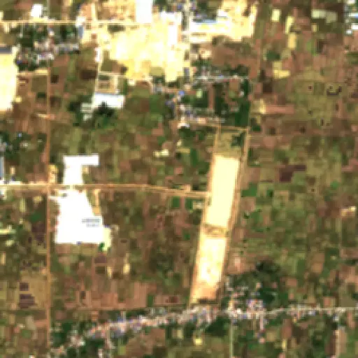
Zooming in from the city-wide perspective, a selection of ten representative sites offers a granular view of these identified features. These examples are distributed across Phnom Penh, illustrating the varied types of structures and green spaces that may serve as critical bat habitats.
Examples include dense clusters of mature trees near waterways, providing natural roosting sites, and specific older institutional buildings with complex rooflines and sheltered alcoves. Other locations show potential in less obvious places, such as beneath bridges or within industrial peripheries, demonstrating the adaptability of bats to human-modified environments.
Each site represents a distinct micro-habitat within the urban mosaic, collectively highlighting the range of features that could support bat populations. This geographic sample emphasizes that potential roosts are not confined to a single type of environment but are scattered throughout the city.
These diverse examples underscore the widespread presence of potential bat habitats within Phnom Penh, often in unexpected places. This new understanding prompts a crucial question: how can the city best integrate this knowledge into its future planning for both human well-being and ecological sustainability?

The identification of hundreds of potential bat roosts across Phnom Penh offers valuable data for urban planners and public health officials. This information can inform targeted public health outreach programs, particularly in areas where high concentrations of potential roosts coincide with residential zones, ensuring communities are aware of local wildlife and best practices for coexistence.
“It provides a foundation for informed conservation efforts, allowing for the protection of these essential urban ecosystem contributors.
For urban development, this mapping effort can guide decisions regarding green infrastructure and the preservation of specific historical or natural structures. Recognizing these areas as potential ecological assets could lead to more nuanced urban planning, fostering greater biodiversity within the city's expanding footprint.
Ultimately, integrating this geospatial understanding into Phnom Penh’s development strategies can contribute to a more harmonious coexistence between its human inhabitants and its vital wildlife. It provides a foundation for informed conservation efforts, allowing for the protection of these essential urban ecosystem contributors.
Maryland's Capital Footprint: Tracing D.C.'s Influence
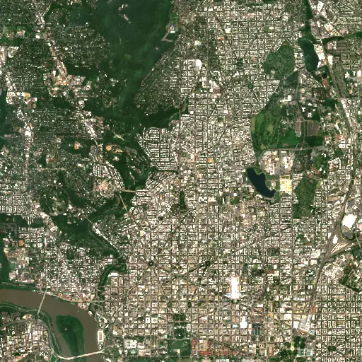
Discover how the historical and infrastructural shadow of Washington D.C. profoundly shapes the diverse landscapes and communities across neighboring Maryland.
“Its growth and the persistent presence of federal institutions have, over centuries, shaped the economic, social, and physical landscapes of surrounding Maryland.
Farms in Ivory Coast: Tracing Agriculture's Footprint in Woroba
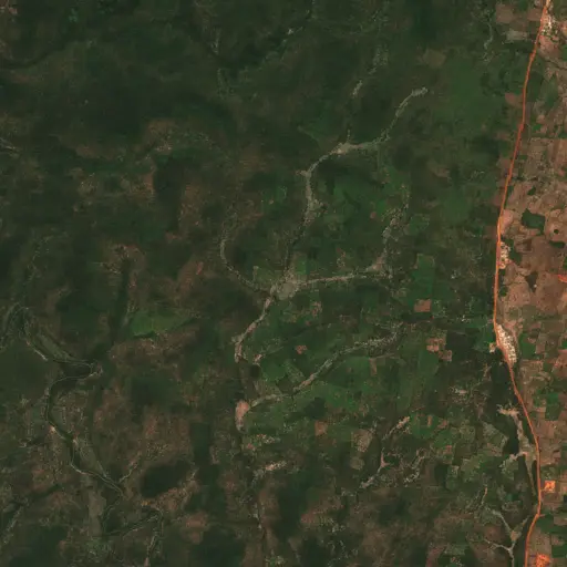
Explore how the agricultural landscape of Woroba, Ivory Coast, is evolving, from historical roots to current patterns and individual farm stories, revealing the region's dynamic relationship with the land.
“Agricultural land use is not merely an economic activity but a fundamental aspect of the social fabric.
The Scarred Rivers of Central Kalimantan: Tracing the Footprint of Dredging in Indonesia
Explore the widespread and varied dredging operations across Central Kalimantan, Indonesia, and understand their profound environmental and socio-economic implications.
“However, these critical natural systems face escalating threats from various forms of resource extraction.
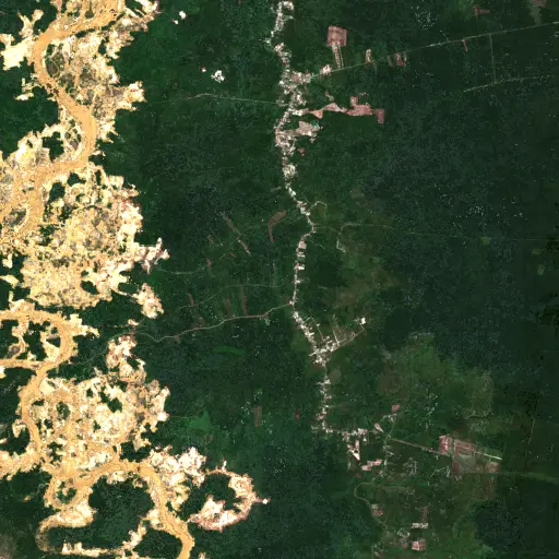
Sentinel Structures: Unpacking Boma Distribution and Land Use in Zambia's Western Province
Across Zambia's Western Province, traditional livestock enclosures, known as bomas, offer a unique lens into community life, pastoral practices, and environmental adaptation.
“Each structure represents a point within a broader network of resource use and communal activity.
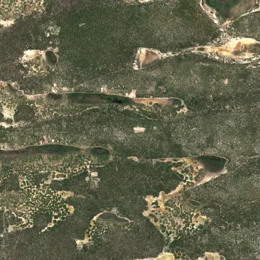
Peninsular Malaysia's Palm Oil Mills: A Network of Transformation
Uncovering the vast industrial network of 2,151 palm oil mills across Peninsular Malaysia, and their profound influence on the landscape, economy, and global supply chain.
“The expansion of oil palm plantations has been a major engine of economic development for Malaysia, providing employment and driving infrastructure growth in rural areas.
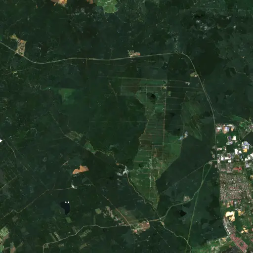
Aquaculture's Hidden Harvest: Mapping Alabama's Fish Farms from Space
Dive into the extensive, yet often unseen, network of aquaculture ponds across Alabama, revealing their critical role in the state's economy and food supply through satellite imagery.
“The state has long been a leading producer of farm-raised catfish, a cornerstone of its agricultural economy and a significant contributor to the national food supply.
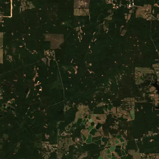
Bangka Belitung's Scarred Landscape: Mapping Tin Mining's Footprint
Explore the pervasive and visible impact of tin mining across Indonesia's Kepulauan Bangka Belitung, revealed through a comprehensive satellite-based survey of nearly 3,000 sites.
“For generations, the islands' geological richness has driven a significant economic sector, shaping livelihoods and trade dynamics far beyond its shores.