Maryland's Capital Footprint: Tracing D.C.'s Influence
Background
Washington D.C., a city planned as a federal capital, extends its influence far beyond its immediate boundaries. Its growth and the persistent presence of federal institutions have, over centuries, shaped the economic, social, and physical landscapes of surrounding Maryland. This intricate relationship forms a critical aspect of the Mid-Atlantic region's character.
The initial design and subsequent expansion of the capital city required significant infrastructural development, much of which naturally extended into adjacent Maryland counties. These historical arteries, alongside more recent urban sprawl, illustrate a continuous pattern of federal needs cascading into regional development.
“Its growth and the persistent presence of federal institutions have, over centuries, shaped the economic, social, and physical landscapes of surrounding Maryland.
This interconnectedness manifests in various forms, from the foundational transportation networks that serve federal commutes to the preservation of green spaces that buffer the urban core. The interplay between federal mandates and local Maryland initiatives creates a unique developmental tapestry.
Beyond infrastructure, the federal government's historical footprint has etched itself into the very land. Military installations, research facilities, and even planned communities have emerged in Maryland, directly tied to the operations and personnel requirements of the capital.
This deep, often subtle, interconnectedness suggests a rich story embedded in the Maryland landscape, waiting to be revealed at scale by examining its features.
Findings
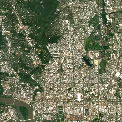
An imagery search across Maryland identified 416 distinct features, each bearing characteristics consistent with the historical and ongoing influence of the capital. These findings span a wide geographic area, from the immediate suburban rings bordering Washington D.C. to more distant points within the state.
The distribution of these features reveals a clear pattern: a dense concentration near the capital, gradually diffusing further afield, though still evident in locations throughout Maryland. This spatial arrangement underscores how D.C.'s gravitational pull extends across diverse landscapes, leaving identifiable marks in infrastructure, land use, and historical sites.
The search, leveraging Sentinel-2 imagery, made visible the scale of this capital footprint, showing how federal development and the associated urban expansion have shaped hundreds of specific points of interest. The collective presence of these elements illustrates a pervasive and systematic transformation of the regional environment.
While these features are distributed broadly across Maryland, certain distinct patterns and particularly illustrative sites emerge, offering concrete examples of this capital's ripple effects.
Top Examples
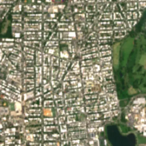
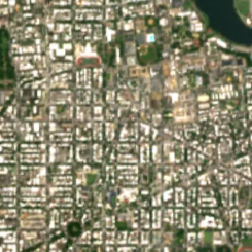
Focusing on specific locations provides a granular view of these broader trends. For example, two sites identified within Maryland, located in close proximity to the capital's boundary, highlight different facets of this influence. One reveals remnants of early 20th-century federal infrastructure, showing how utilities and transport networks were extended to serve a burgeoning capital and its growing workforce.
Another nearby site illustrates the conversion of previously undeveloped land for purposes directly linked to federal operations or the residential needs of those employed by the government. Together, these examples provide tangible evidence of D.C.'s ongoing shaping power on the immediate Maryland landscape, from its historical layers to its contemporary transformations.
These individual stories offer specific insights into the broader challenges and opportunities inherent in developing a region so closely tied to a major federal center.
The extensive cataloging of these features across Maryland underscores a persistent tension: the federal imperative to expand and operate versus the preservation of local character and ecological balance. As Washington D.C. continues to evolve, so too will its surrounding regions, adapting to new demands while grappling with historical legacies.
“The capital's footprint is not static; it is a dynamic force continually reshaping the places it touches.
Understanding these patterns is crucial for Maryland's future planning, particularly in areas concerning sustainable development and resource management. The capital's footprint is not static; it is a dynamic force continually reshaping the places it touches.
Therefore, the ongoing observation of these landscapes offers vital data for navigating the complex future of this integral American region. The interplay between a monumental federal presence and the distinct identity of Maryland remains a quiet, unfolding narrative.
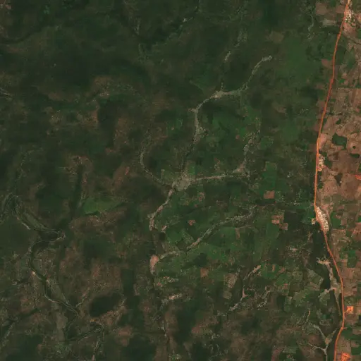
Farms in Ivory Coast: Tracing Agriculture's Footprint in Woroba
Explore how the agricultural landscape of Woroba, Ivory Coast, is evolving, from historical roots to current patterns and individual farm stories, revealing the region's dynamic relationship with the land.
“Agricultural land use is not merely an economic activity but a fundamental aspect of the social fabric.
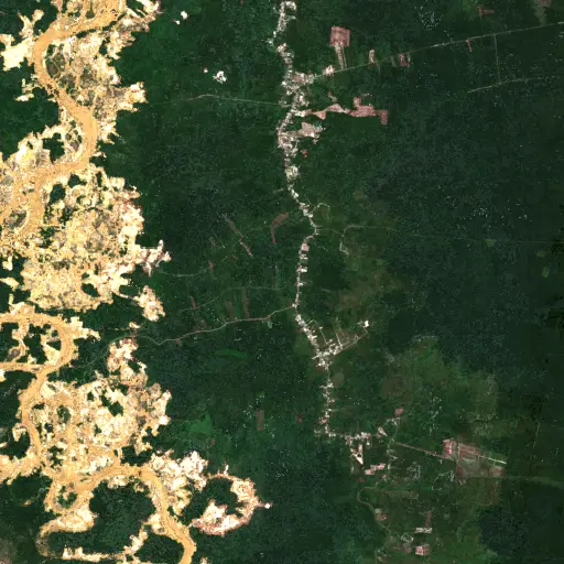
The Scarred Rivers of Central Kalimantan: Tracing the Footprint of Dredging in Indonesia
Explore the widespread and varied dredging operations across Central Kalimantan, Indonesia, and understand their profound environmental and socio-economic implications.
“However, these critical natural systems face escalating threats from various forms of resource extraction.
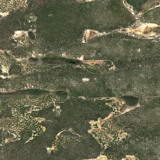
Sentinel Structures: Unpacking Boma Distribution and Land Use in Zambia's Western Province
Across Zambia's Western Province, traditional livestock enclosures, known as bomas, offer a unique lens into community life, pastoral practices, and environmental adaptation.
“Each structure represents a point within a broader network of resource use and communal activity.
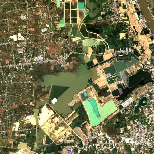
Phnom Penh's Hidden Guardians: Mapping Bat Roosts for a Healthier City
Uncovering potential bat roosts across Phnom Penh, Cambodia, to understand their critical role in urban ecosystems and public health.
“These nocturnal mammals are vital for natural pest control, consuming vast quantities of insects that could otherwise impact agriculture and human health.
Peninsular Malaysia's Palm Oil Mills: A Network of Transformation
Uncovering the vast industrial network of 2,151 palm oil mills across Peninsular Malaysia, and their profound influence on the landscape, economy, and global supply chain.
“The expansion of oil palm plantations has been a major engine of economic development for Malaysia, providing employment and driving infrastructure growth in rural areas.
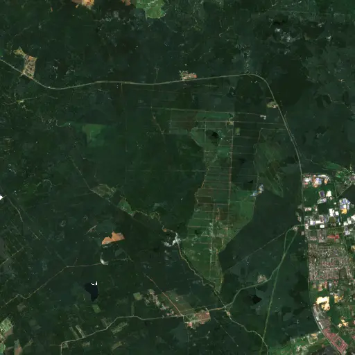
Aquaculture's Hidden Harvest: Mapping Alabama's Fish Farms from Space
Dive into the extensive, yet often unseen, network of aquaculture ponds across Alabama, revealing their critical role in the state's economy and food supply through satellite imagery.
“The state has long been a leading producer of farm-raised catfish, a cornerstone of its agricultural economy and a significant contributor to the national food supply.
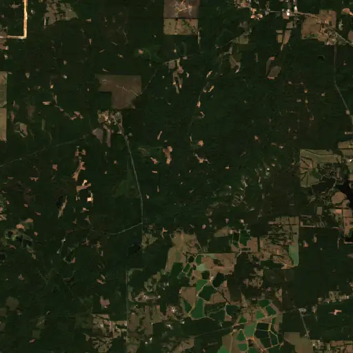
Bangka Belitung's Scarred Landscape: Mapping Tin Mining's Footprint
Explore the pervasive and visible impact of tin mining across Indonesia's Kepulauan Bangka Belitung, revealed through a comprehensive satellite-based survey of nearly 3,000 sites.
“For generations, the islands' geological richness has driven a significant economic sector, shaping livelihoods and trade dynamics far beyond its shores.