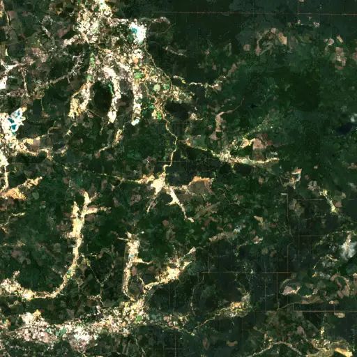
The Scarred Rivers of Central Kalimantan: Tracing the Footprint of Dredging in Indonesia
Background
Central Kalimantan, a sprawling province on the island of Borneo, is characterized by its extensive network of rivers and peatland ecosystems. These waterways serve as the lifeblood for diverse biodiversity and numerous local communities, supporting fishing, agriculture, and transportation across the region.
However, these critical natural systems face escalating threats from various forms of resource extraction. Among these, the practice of dredging—the removal of sediment, gravel, or other materials from riverbeds and banks—is becoming increasingly prevalent, altering natural hydrologic regimes and aquatic habitats.
“However, these critical natural systems face escalating threats from various forms of resource extraction.
The demand for construction materials, minerals, and land alteration for agriculture drives much of this activity, creating visible scars on the landscape. The environmental consequences are far-reaching, impacting water quality, disrupting aquatic life, and potentially increasing erosion along riverbanks.
Understanding the scale and distribution of these operations is crucial for assessing their collective impact. This vast and critical ecosystem, however, is increasingly under pressure from widespread resource extraction, a phenomenon Earth Index helps visualize and quantify.
Findings
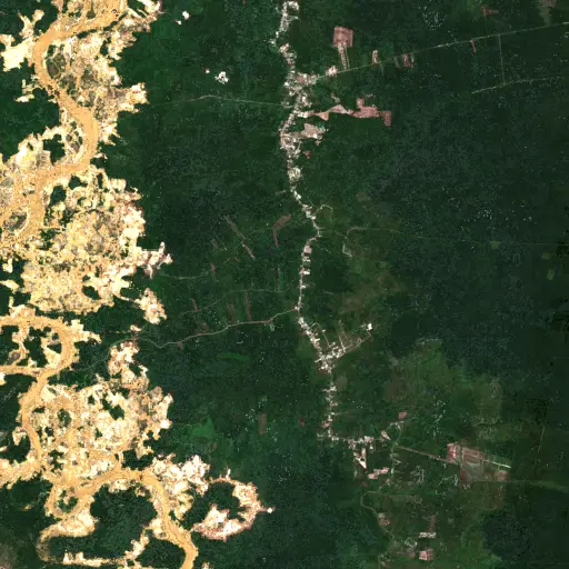
Across the specified area of interest within Central Kalimantan, an extensive search for dredging operations identified 537 distinct sites. These detections, made visible through high-resolution satellite imagery, reveal a pervasive pattern of activity along the region's major and minor river systems.
The distribution of these sites is not uniform, often concentrating in clusters around specific bends, confluence points, or stretches of water, suggesting localized but intensive extraction efforts. The sheer number of identified locations underscores the extensive modification of the riverine landscape, with visible impacts ranging from altered water turbidity to excavated banks.
The widespread nature of these activities points to a systemic alteration of the hydrological and ecological integrity of Central Kalimantan's waterways. While the aggregate data paints a stark picture of proliferation, a closer look at individual sites reveals the specific types and immediate environmental transformations caused by these operations.
Top Examples
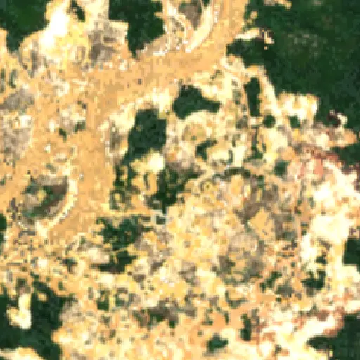
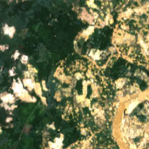
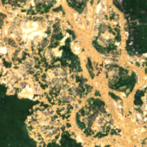
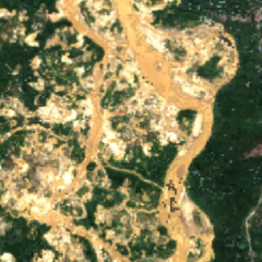
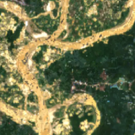
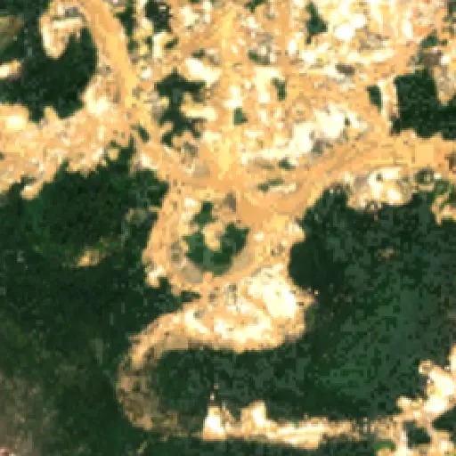
To illustrate the diverse manifestations of this widespread activity, a selection of ten representative sites has been curated from the full dataset. These individual locations, spread throughout the observed area, showcase the variety of dredging operations.
Some reveal large-scale industrial activities with clear excavation scars and sediment plumes extending into the main river channel, while others indicate smaller-scale, more localized disturbances. The specific features visible in Sentinel-2 imagery—from temporary mooring points to extensive spoil piles—offer insights into the techniques and intensity of material extraction. These distinct examples underscore the varied local impacts, collectively raising urgent questions about the long-term sustainability and future of Central Kalimantan's natural heritage.
The cumulative effect of widespread dredging in Central Kalimantan represents a significant alteration of the natural environment, impacting aquatic ecosystems and the communities dependent on healthy rivers. Sediments released during operations can degrade water quality, affecting fish populations and downstream users, while changes to river morphology can exacerbate erosion or alter flood patterns.
“The scale of these changes observed from above suggests a profound recalibration of the region's ecological balance.
Such continuous activity modifies habitats, potentially disrupting migration patterns for aquatic species and reducing biodiversity. The scale of these changes observed from above suggests a profound recalibration of the region's ecological balance.
These visible transformations present an ongoing challenge for regional environmental management, requiring sustained observation to understand their long-term trajectory and to inform conservation strategies. The ongoing changes to these vital waterways demand attention as the region navigates its future development.
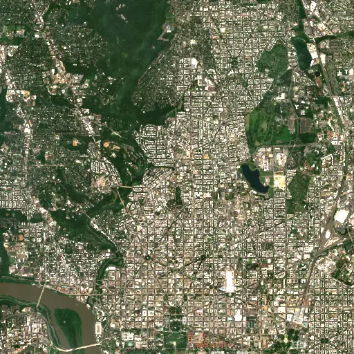
Maryland's Capital Footprint: Tracing D.C.'s Influence
Discover how the historical and infrastructural shadow of Washington D.C. profoundly shapes the diverse landscapes and communities across neighboring Maryland.
“Its growth and the persistent presence of federal institutions have, over centuries, shaped the economic, social, and physical landscapes of surrounding Maryland.
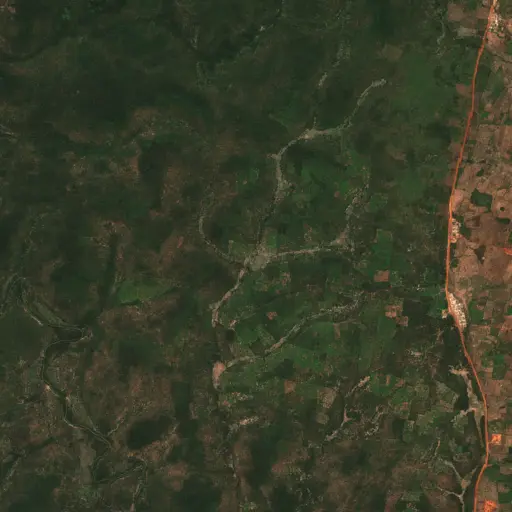
Farms in Ivory Coast: Tracing Agriculture's Footprint in Woroba
Explore how the agricultural landscape of Woroba, Ivory Coast, is evolving, from historical roots to current patterns and individual farm stories, revealing the region's dynamic relationship with the land.
“Agricultural land use is not merely an economic activity but a fundamental aspect of the social fabric.
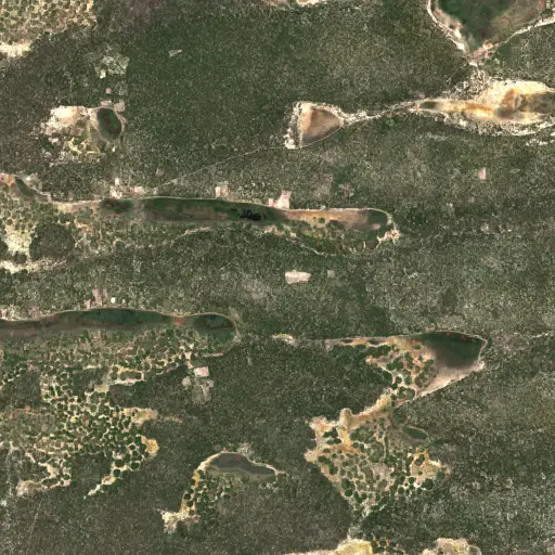
Sentinel Structures: Unpacking Boma Distribution and Land Use in Zambia's Western Province
Across Zambia's Western Province, traditional livestock enclosures, known as bomas, offer a unique lens into community life, pastoral practices, and environmental adaptation.
“Each structure represents a point within a broader network of resource use and communal activity.
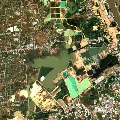
Phnom Penh's Hidden Guardians: Mapping Bat Roosts for a Healthier City
Uncovering potential bat roosts across Phnom Penh, Cambodia, to understand their critical role in urban ecosystems and public health.
“These nocturnal mammals are vital for natural pest control, consuming vast quantities of insects that could otherwise impact agriculture and human health.
Peninsular Malaysia's Palm Oil Mills: A Network of Transformation
Uncovering the vast industrial network of 2,151 palm oil mills across Peninsular Malaysia, and their profound influence on the landscape, economy, and global supply chain.
“The expansion of oil palm plantations has been a major engine of economic development for Malaysia, providing employment and driving infrastructure growth in rural areas.
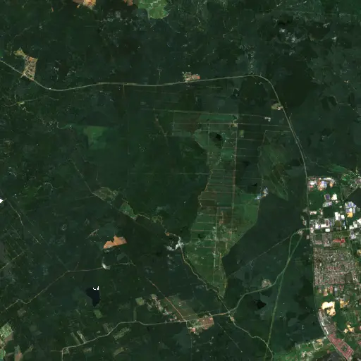
Aquaculture's Hidden Harvest: Mapping Alabama's Fish Farms from Space
Dive into the extensive, yet often unseen, network of aquaculture ponds across Alabama, revealing their critical role in the state's economy and food supply through satellite imagery.
“The state has long been a leading producer of farm-raised catfish, a cornerstone of its agricultural economy and a significant contributor to the national food supply.
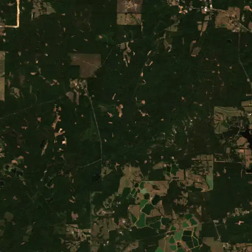
Bangka Belitung's Scarred Landscape: Mapping Tin Mining's Footprint
Explore the pervasive and visible impact of tin mining across Indonesia's Kepulauan Bangka Belitung, revealed through a comprehensive satellite-based survey of nearly 3,000 sites.
“For generations, the islands' geological richness has driven a significant economic sector, shaping livelihoods and trade dynamics far beyond its shores.