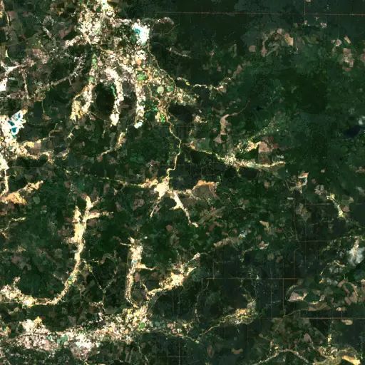
Aquaculture's Hidden Harvest: Mapping Alabama's Fish Farms from Space
Background
Alabama, with its warm climate and extensive network of rivers and reservoirs, provides an optimal environment for freshwater aquaculture. The state has long been a leading producer of farm-raised catfish, a cornerstone of its agricultural economy and a significant contributor to the national food supply. This industry supports numerous rural communities through direct employment and related services.
Across the state's diverse geography, from the fertile Black Belt region to the Gulf Coastal Plain, thousands of ponds dot the landscape. These water bodies are carefully managed systems, designed for efficient fish production, yet they often appear as an integrated part of the natural environment to an observer on the ground.
“The state has long been a leading producer of farm-raised catfish, a cornerstone of its agricultural economy and a significant contributor to the national food supply.
The presence of these aquaculture operations, though widespread, can be deceptively understated. Their individual footprints are often small to medium-sized, leading to a distributed pattern of activity rather than large, consolidated industrial complexes. This dispersion means the true scale of the industry's land and water usage is not immediately apparent.
Understanding the full geographic distribution of these agricultural features is crucial for resource management and economic planning. The quiet efficiency of these farms underpins a substantial sector, whose collective impact on the land and water resources of Alabama warrants closer inspection. This vital industry, often hidden in plain sight, demands a broader understanding of its scale and distribution across Alabama's diverse landscapes.
Findings
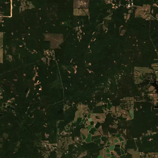
Mapping such a dispersed industry across an entire state presents a considerable challenge using traditional survey methods. Remote sensing, however, offers an effective means to survey vast areas systematically. A specialized tool, Earth Index, was employed to search Sentinel-2 satellite imagery, allowing for rapid identification of aquaculture pond features across Alabama.
This automated search identified 8,042 distinct aquaculture features meeting high confidence criteria. The sheer number of these features illustrates a far more extensive footprint for the industry than might be perceived from ground-level observations alone. Their distribution reveals dense concentrations in central and western Alabama, consistent with areas known for agricultural productivity and available water resources.
The results illuminate how these engineered aquatic systems form a complex, interconnected web across the landscape, rather than isolated instances. The patterns of these thousands of ponds on the map underscore a significant human modification of the environment dedicated to food production, inviting a closer look at their specific locations and characteristics.
Top Examples
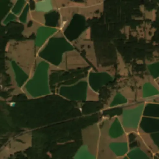
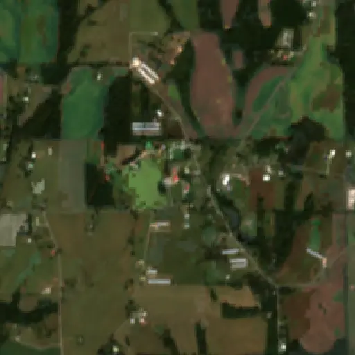
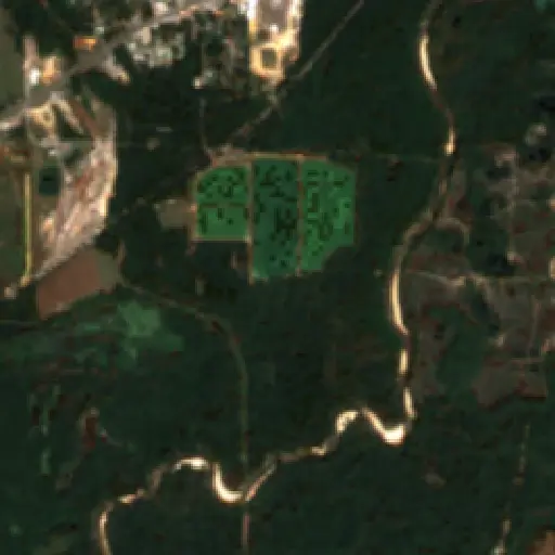
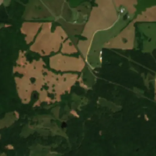
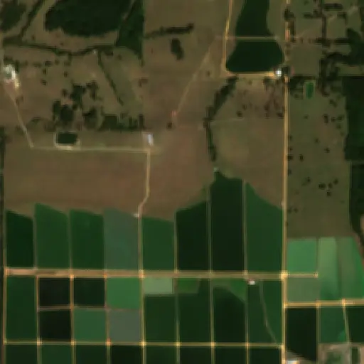
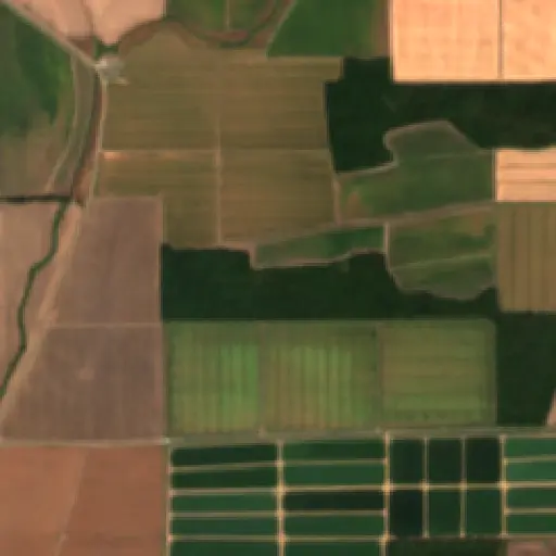
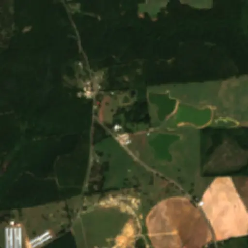
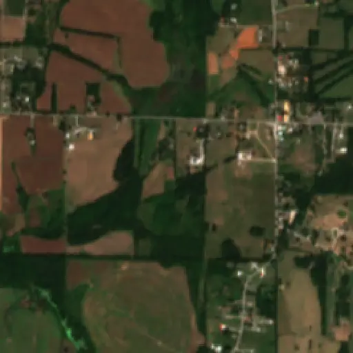
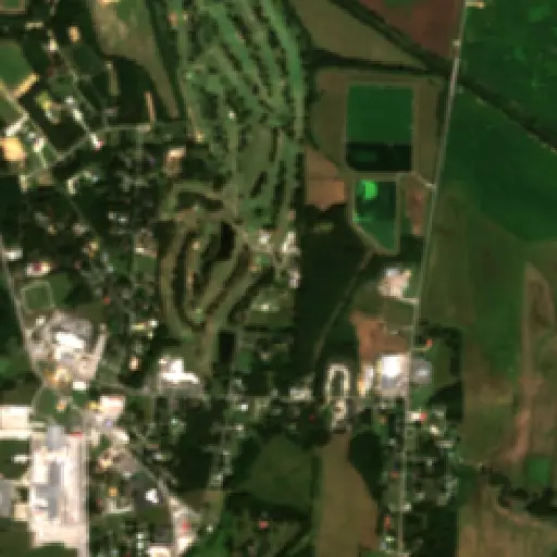
To better understand the nuances within this expansive network, a selection of ten representative aquaculture sites was chosen from the thousands identified. These specific locations provide a closer look at the diverse forms the industry takes across Alabama. They showcase variations in the scale of operations, from smaller, clustered ponds to larger, more extensive farming complexes.
These examples offer a geographic cross-section, illustrating how aquaculture facilities integrate into the different rural environments of the state. Observing these individual sites allows for a more granular appreciation of the land use patterns and the distinct management approaches visible from above. These individual stories coalesce into a larger narrative about an industry ripe for informed management and sustainable growth.
The comprehensive mapping of aquaculture sites in Alabama provides a foundational dataset for future environmental and economic analysis. This detailed spatial understanding can inform decisions regarding water allocation, land use planning, and the monitoring of ecological impacts associated with these operations. It establishes a critical baseline against which changes in the industry's footprint can be measured over time.
“These individual stories coalesce into a larger narrative about an industry ripe for informed management and sustainable growth.
The insights gained underscore the significant contribution of aquaculture to Alabama's economy and food security, while also pointing to the complexities of managing a widespread agricultural sector. Ensuring the long-term viability of these operations requires a balance between production demands and the stewardship of natural resources.
Such detailed spatial knowledge can guide efforts toward more sustainable practices, helping to identify areas where growth might be optimized or where environmental considerations require closer attention. The integration of this industry into Alabama’s broader agricultural landscape will continue to evolve, with satellite monitoring offering a persistent perspective on its development.
Maryland's Capital Footprint: Tracing D.C.'s Influence
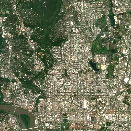
Discover how the historical and infrastructural shadow of Washington D.C. profoundly shapes the diverse landscapes and communities across neighboring Maryland.
“Its growth and the persistent presence of federal institutions have, over centuries, shaped the economic, social, and physical landscapes of surrounding Maryland.
Farms in Ivory Coast: Tracing Agriculture's Footprint in Woroba
Explore how the agricultural landscape of Woroba, Ivory Coast, is evolving, from historical roots to current patterns and individual farm stories, revealing the region's dynamic relationship with the land.
“Agricultural land use is not merely an economic activity but a fundamental aspect of the social fabric.
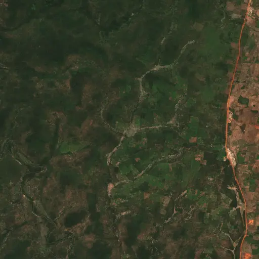
The Scarred Rivers of Central Kalimantan: Tracing the Footprint of Dredging in Indonesia
Explore the widespread and varied dredging operations across Central Kalimantan, Indonesia, and understand their profound environmental and socio-economic implications.
“However, these critical natural systems face escalating threats from various forms of resource extraction.
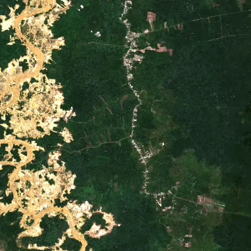
Sentinel Structures: Unpacking Boma Distribution and Land Use in Zambia's Western Province
Across Zambia's Western Province, traditional livestock enclosures, known as bomas, offer a unique lens into community life, pastoral practices, and environmental adaptation.
“Each structure represents a point within a broader network of resource use and communal activity.
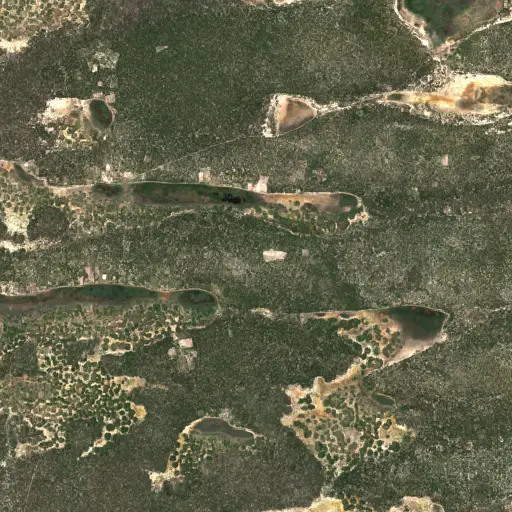
Phnom Penh's Hidden Guardians: Mapping Bat Roosts for a Healthier City
Uncovering potential bat roosts across Phnom Penh, Cambodia, to understand their critical role in urban ecosystems and public health.
“These nocturnal mammals are vital for natural pest control, consuming vast quantities of insects that could otherwise impact agriculture and human health.
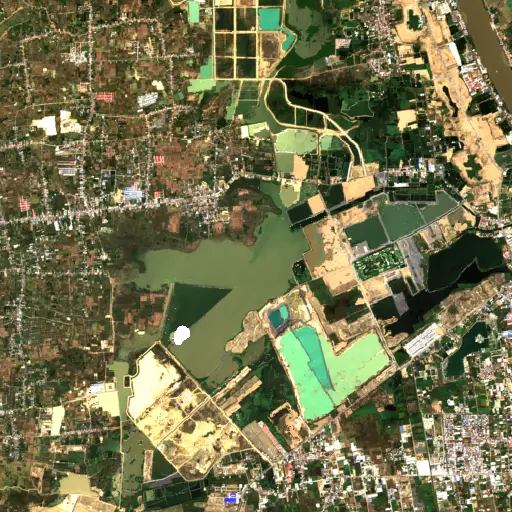
Peninsular Malaysia's Palm Oil Mills: A Network of Transformation
Uncovering the vast industrial network of 2,151 palm oil mills across Peninsular Malaysia, and their profound influence on the landscape, economy, and global supply chain.
“The expansion of oil palm plantations has been a major engine of economic development for Malaysia, providing employment and driving infrastructure growth in rural areas.
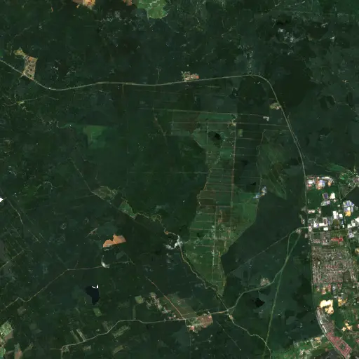
Bangka Belitung's Scarred Landscape: Mapping Tin Mining's Footprint
Explore the pervasive and visible impact of tin mining across Indonesia's Kepulauan Bangka Belitung, revealed through a comprehensive satellite-based survey of nearly 3,000 sites.
“For generations, the islands' geological richness has driven a significant economic sector, shaping livelihoods and trade dynamics far beyond its shores.